LAND SURFACE>LANDSCAPE>LANDSCAPE PROCESSES
https://seesense.eu/shop/camdo-time-lapse-solution-bundles/
- Sony DSC-RXO II camera system
- SolarUp Bundle Comprising
- CamDo 9 Watt Solar panel upgrade kit for Dry X enclosure
- SanDisk Extreme Plus micro SD Card SDXC 128GB 170MB/s
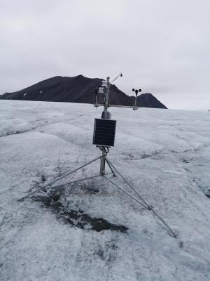
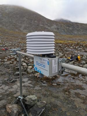
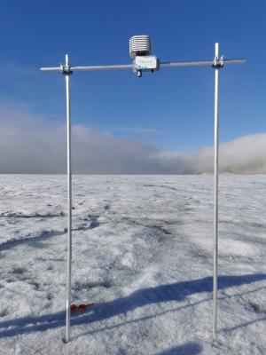
Maintenance takes place at least once a year in spring (March/April) or summer (July/August).
Sampling every 6 hours and saving to internal SD card.